
Tuesday, July 3, 2007
Start: Grand Canyon North Rim, AZ, 9:30 am
End: Bryce Canyon, UT, 5:30 pm
Mileage: 274
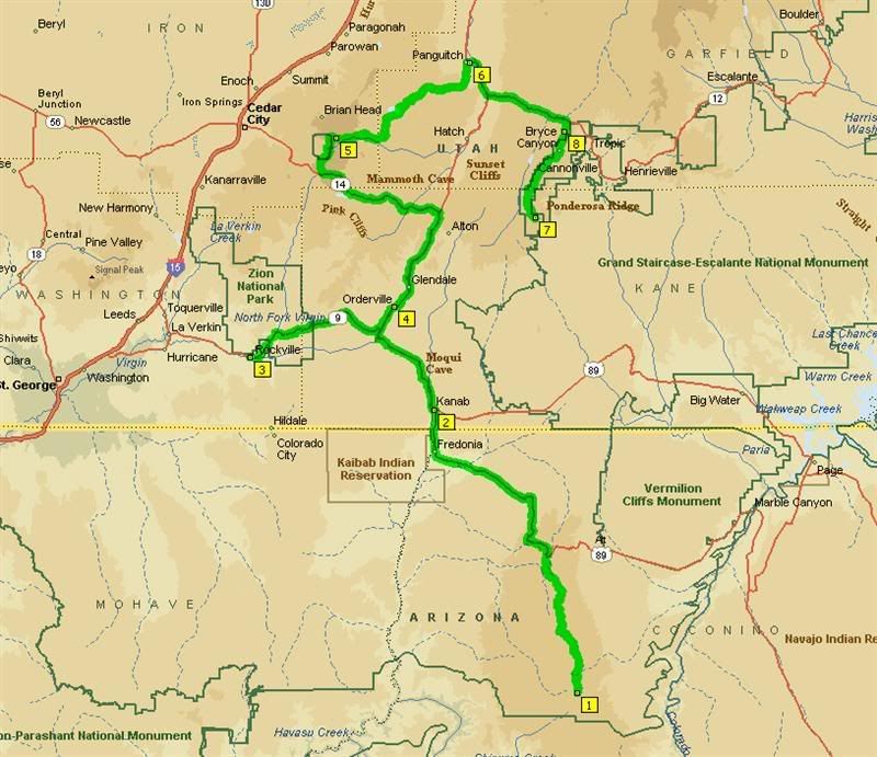
The route for Day 6: Grand Canyon North Rim, AZ to Bryce Canyon, UT, swinging by Zion National Park/
Today was the designated short/rest day of the tour at 274 miles as we would be spending considerable time at Utah's national parks of Zion, Cedar Breaks and Bryce. I heard the traffic through Zion might also consume a lot of time, so no need to hurry through these natural wonders. After a nice run back up the Grand Canyon Highway, we had breakfast in Kanab, UT and then turned into Zion National Park.
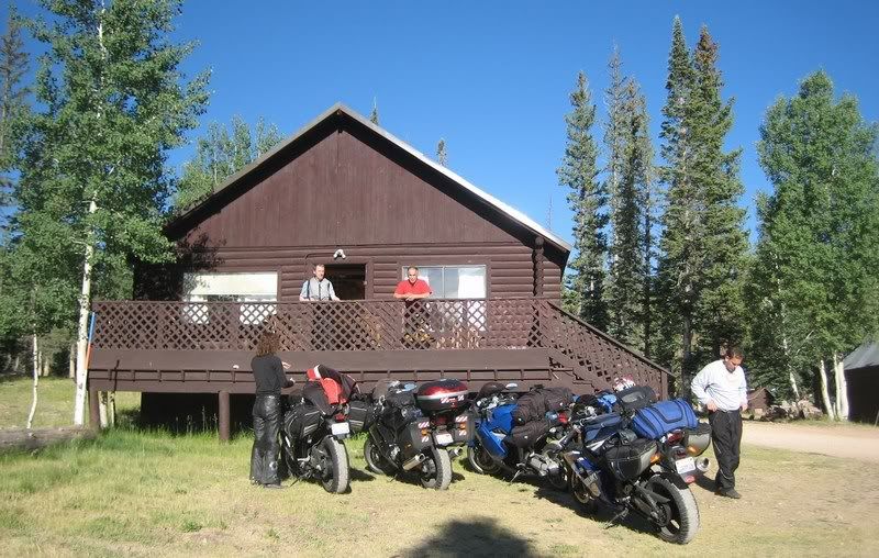
Our cabin at the Kaibab Lodge. Getting ready to leave.
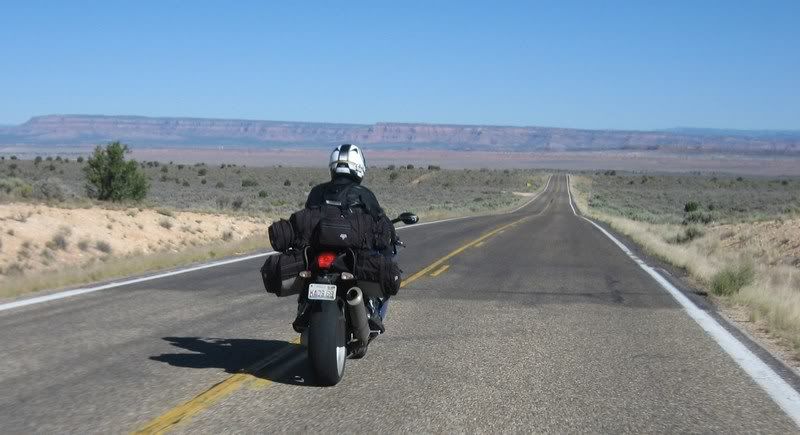
Heading north on AZ-67, Grand Canyon Highway through the Kaibab National Forest. Endless sweepers and excellent road quality.
11 Kaibab to Kanab, AZ-67 & US-89 Alt, Grand Canyon Highway [5:02]
Riding AZ-67 and US-89 Alt from Kaibab Lodge near the Grand Canyon North Rim to Kanab, Utah. This is one beautiful road / Andy
Musik: Armin van Buuren - Burned with Desire
My Rating > Road: 5/5, Scenery: 4/5
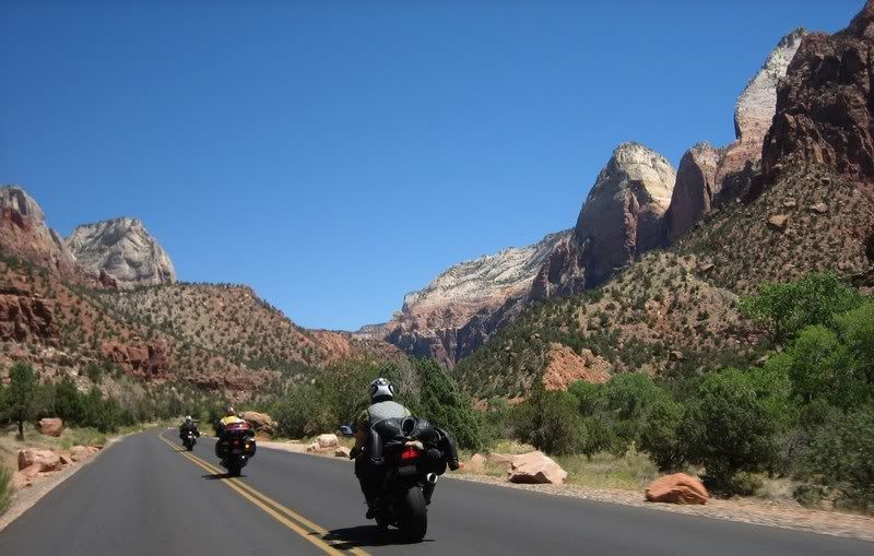
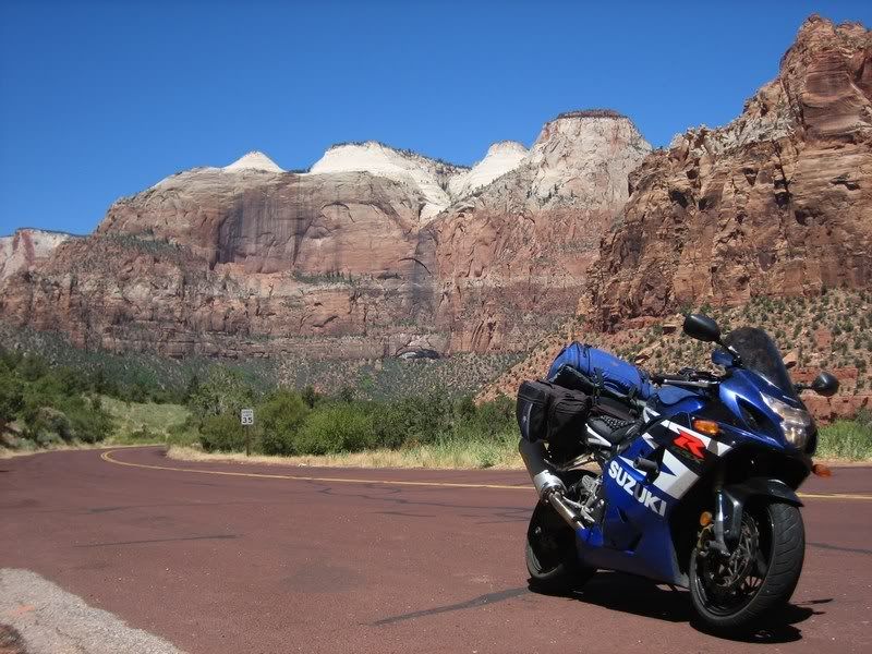
On US-89 Alt heading towards Zion National Park.
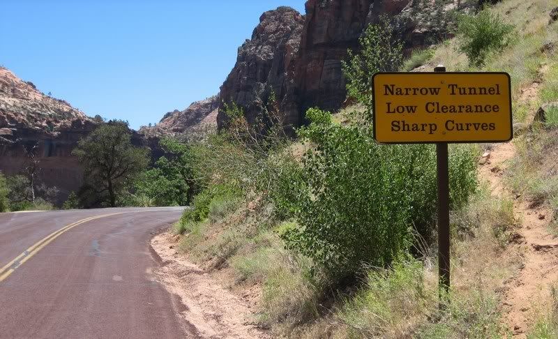
After seeing pictures and documentaries of this park, I was quite excited to finally be here. We knew that to get the most of the park, one should stop and take a hike into the inner regions to truly be amazed, but alas, we're on a tight schedule and getting a glimpse was good enough. I'll be back at a later time to properly enjoy the park. Zion is known for its rising cliffs and you get a good view of that from the road. Traffic wasn't bad, but we did have to wait for about 15 mins at the tunnel that takes you into the heart of the park.
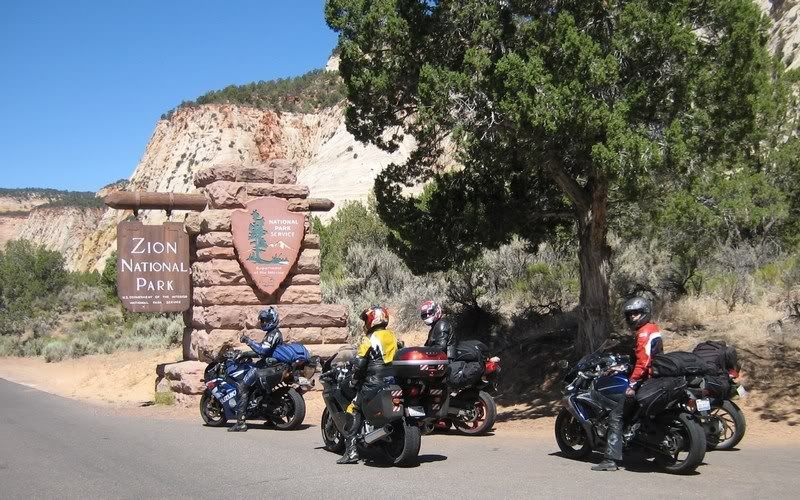
At the entrance to Zion National Park. After reading and hearing so much about this place, I was quite excited. (Picture by Andy)
12 Zion National Park [6:07]
Riding UT-9 through Zion National Park. Shot using a helmet camera. Please excuse the poor framing of many shots, it didn't turn out as I planned / Andy
Musik: U2 - I Still Haven't Found What I'm Looking For
My Rating > Road: 3/5, Scenery: 5/5
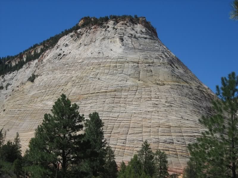
Checkerboard Mesa, with a natural grid pattern probably caused by water run off.
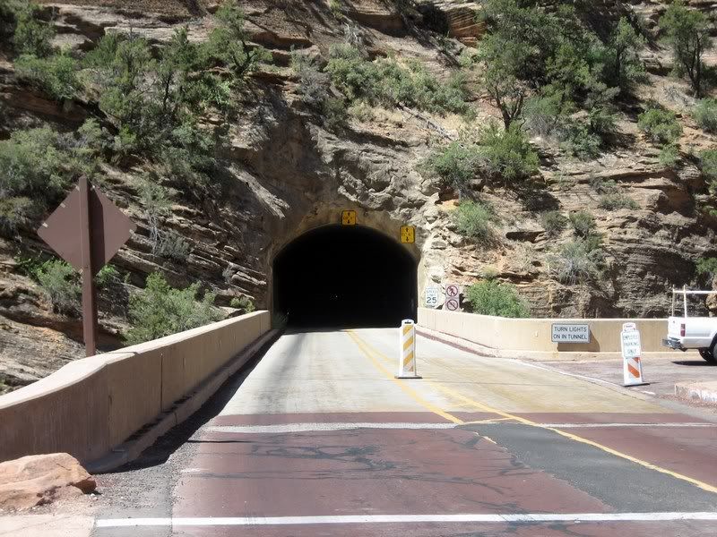
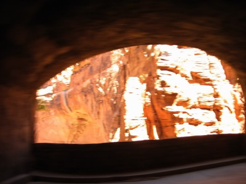
The eastern portal to the Zion-Mt. Carmel tunnel, which runs over a mile through the sandstone to emerge deep in the park.
The tunnel has 6 big windows cut into the cliff to provide sunlight and ventilation, and construction was completed in 1930.
Heading back east through the park.
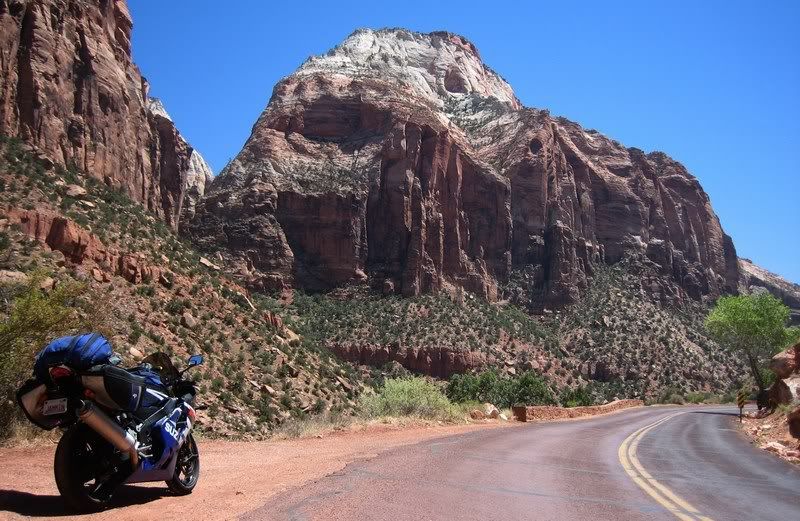
Lots of massive sandstone mountains.
The switchbacks climbing up to the western portal of the tunnel.
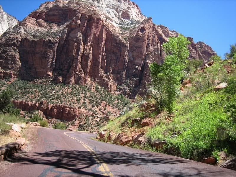
Again on this trip it was a challenge to pay attention to the winding road with the awesome views just ahead.
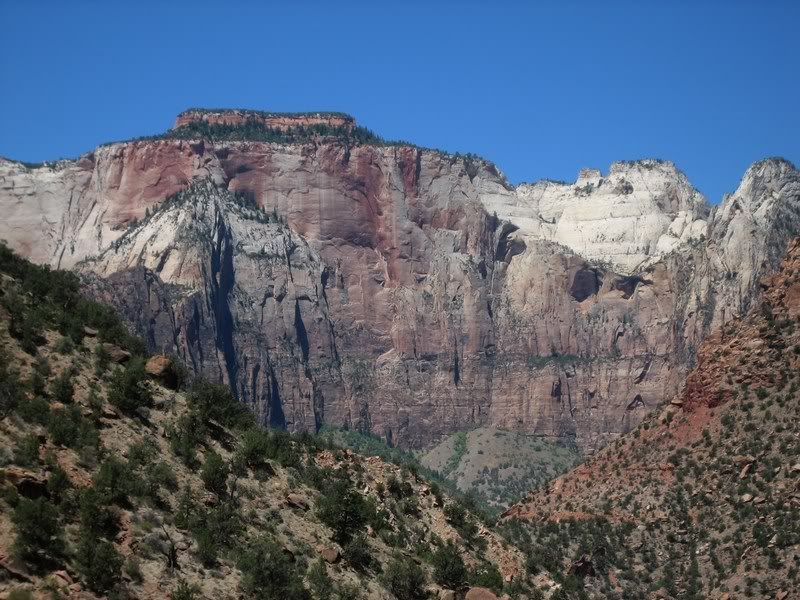
Zion is known for extreme vertical cliffs and much better views can be had by taking hikes into the interior of the park.
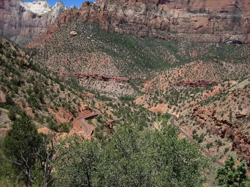
Another view of the winding road.
The tops of the peaks appear white as their minerals have been blown away by the wind.
Coming up to the western entrance of the tunnel.
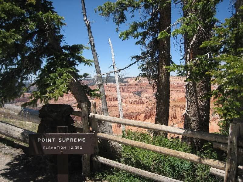
Since it was still quite a hot day, we were using our cooling vests and we re-wetted our vests at the main lodge in Zion on our way to our next stop, Cedar Breaks National Monument. Unbeknownst to me, Cedar Breaks is at an altitude of about 10,000 ft where it's considerably cooler and we ended up feeling much cooler than needed with our wet vests. Cedar Breaks was a very enjoyable site as the iron in the sandstone contrasts greatly with the green flora of Cedar. The whole region of southern Utah was at the bottom of an ancient lake about 50 million years ago and up shift in the ground over time has created these various canyons and cliffs. And this whole area all the way from the Grand Canyon through Zion to Bryce Canyon is known as the [URL="http://en.wikipedia.org/wiki/Grand_Staircase"]Grand Staircase[/URL] as each cliff/canyon is a step higher than the other in the big picture.
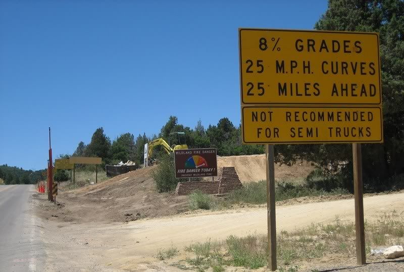
A warning sign at the intersection of US-89 and UT-14 on our way to Cedar Breaks National Monument. For us, this means there's fun 25 miles up ahead.
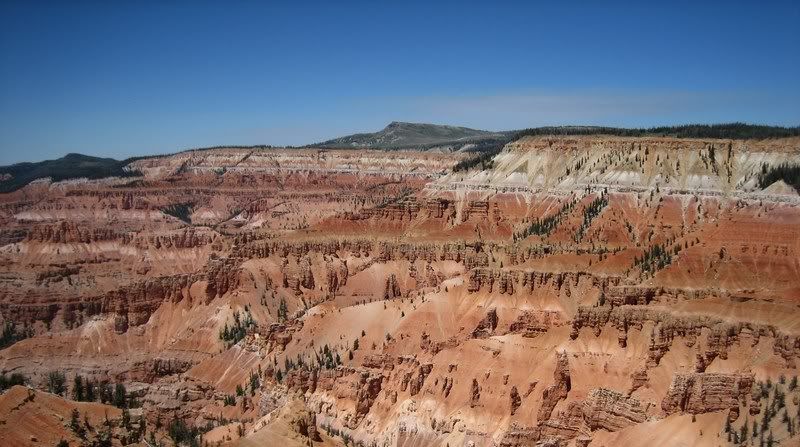
The awesome view at Cedar Breaks National Monument, a natural amphitheather canyon. This area was created by uplift and erosion.
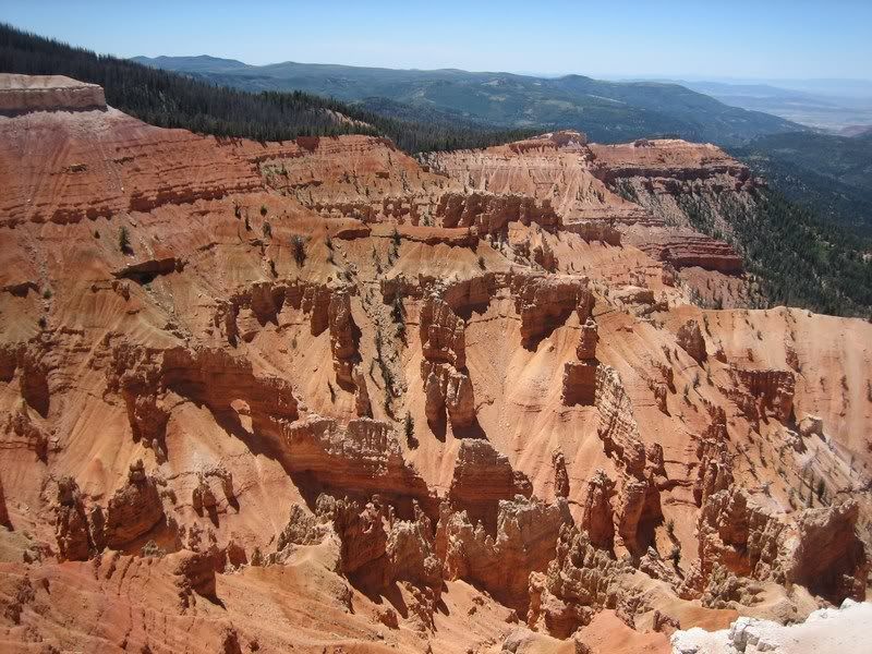
Hoodoos (tall thin spires of sedimentary rock) are abound here and at Bryce Canyon. The rich color is due to iron deposits in the rock.
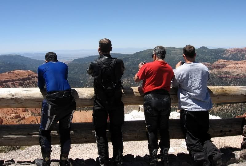
Yes, we're all taking pictures of the same thing. (Picture by Aileen)
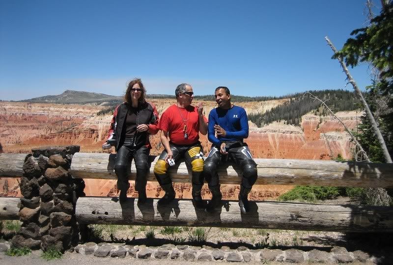
Aileen, Rick and I trying to pose for a picture. (Picture by Andy)
Yeah, we didn't realize that the Cedar Breaks rim is above 10,000 ft, meaning it was a little chilly and we mistakenly rewetted our cooling vests when we left Zion. You could say we were feeling a little nipply.
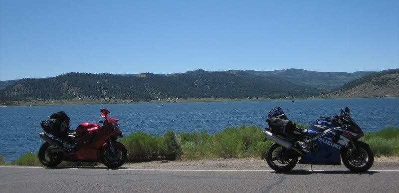
Panguitch Lake on UT-143
13 UT-143, Cedar Breaks National Monument [4:39]
Riding UT-148 and UT-143 around Cedar Breaks National Monument, heading to Panguitch, UT / Andy
Musik: Linkin Park - In The End
My Rating > Road: 4/5, Scenery: 4/5
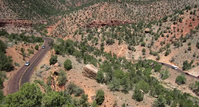
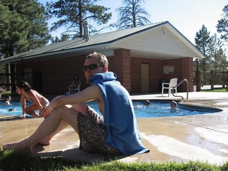
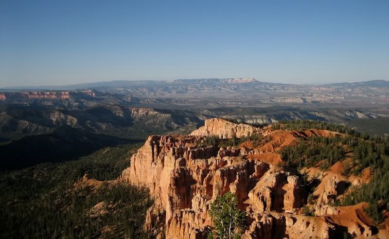
UT-143 to Panguitch from Cedar Breaks was a nice fun road with very little traffic. Most of these roads weren't too technical and were mainly sweepers following the contour of the land, which makes for very enjoyable riding for everybody. From there, turning on UT-12 and entering the classic stone arch signaled our destination for the day, the pink rocks of Bryce Canyon. Andy and I setup camp and then joined the others to cool off in the campground's pool before setting off for an evening ride through the park.
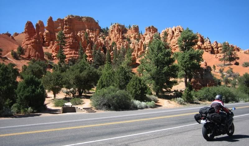
Aileen on UT-12 heading to Bryce Canyon National Park. This was a taste of the scenery to come.
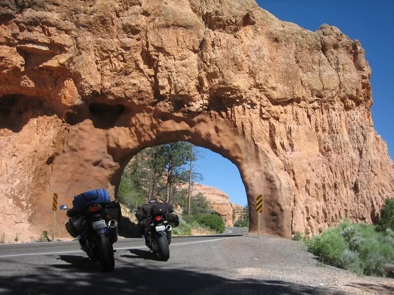
Another classic shot from this part of the country: the stone arches on UT-12 near the entrance to Bryce Canyon.
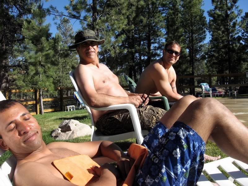
After unloading our luggage, we relaxed by the pool at Ruby's Inn before heading off into Bryce for a sunset ride. (Picture by Aileen)
Andy, protecting his poor back, which probably hasn't seen the sun in over 10 years. (Picture by Aileen)
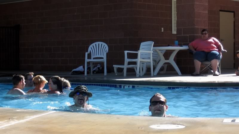
Get those predators out of the there! Momma's keeping an eye on them. (Picture by Aileen)
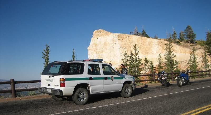
The road through Bryce Canyon is very enjoyable but the speed limit drops from 45 to 35 and we duly got served towards the end of the park. Yes, we probably shouldn't have been railing through a National Park, but it was the end of the day and there was hardly any cager traffic. We think we were setup by the ranger at the gate calling ahead to the patrol ranger that four sport bikes had just entered the park. We were running our radar detectors, however the patrol officer used instant-on just as he sped by us and clocked us for 60 in a 35. Only Andy and I got tickets as Rick and Steven were further behind and duly rode by us getting served like they didn't know us. Bastids! But that's the protocol. Oh well, it's a federal district ticket, which doesn't count towards insurance or your license record, so we just considered it a price to play. Andy and I joked that the officer took so long to process our tickets because when he called us in, the dispatch must've been like, "Oh, you finally caught those two. There are warrants out for them in Colorado and Arizona." LOL. We cruised back doing the speed limit, which was very painful on this awesome road. After a nice dinner at Ruby's Inn with the group, Andy and I enjoyed falling asleep under the clear starry sky of Bryce, which we had been looking forward to, while Rick, Steven and Aileen enjoyed the comforts of their hotel room.
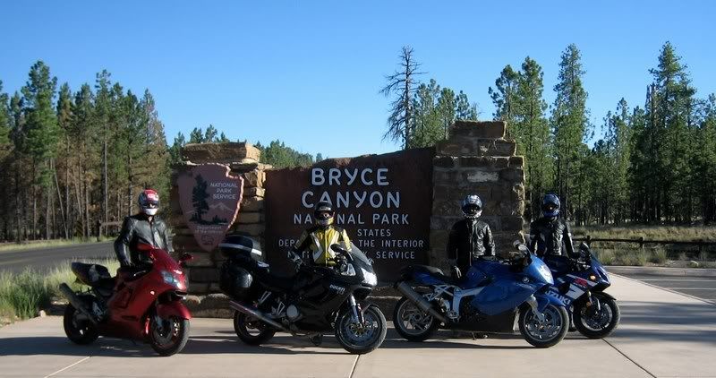
The boys heading into Bryce Canyon National Park.
14 Bryce Canyon National Park [5:54]
Riding through Bryce Canyon National Park on UT-63. This was an awesome road! But yes, we did pay to use it... / Andy
Musik: Alibi - Eternity
My Rating > Road: 5/5, Scenery: 5/5
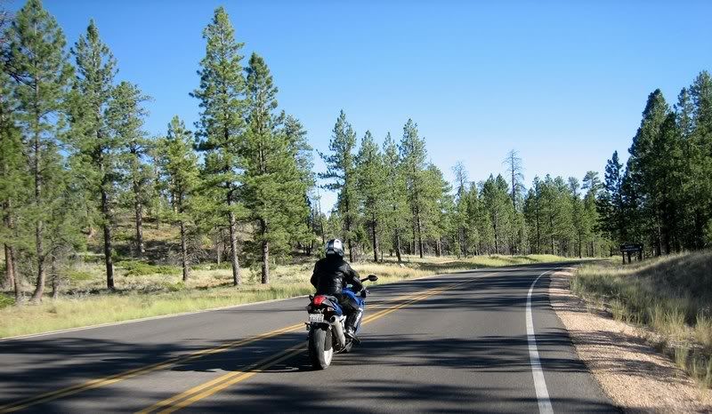
The road was amazing! Lots of 25-35 mph turns and excellent road quality. All though the speed limit is quite low at 35 mph and…
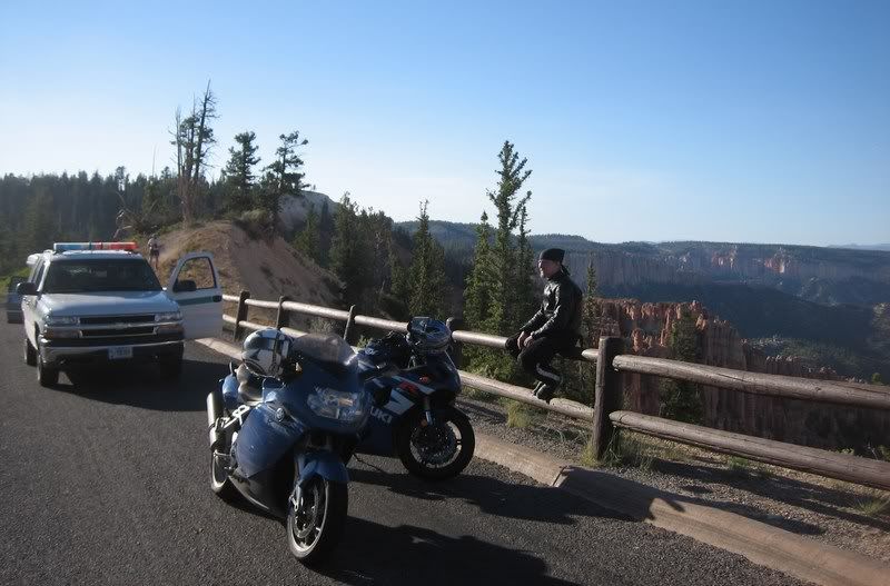
Yup, we got popped by the ranger. First and only speeding ticket on the whole trip. 60 in 35. Thankfully it's a federal ticket, which doesn’t go on your state record. Freebie, besides the fine.
In hindsight, we probably shouldn't have been railing through a national park, but I don’t think we scared any of the other tourists and it was at the end of the day… (Picture by Andy)
Good thing we pulled over at a scenic overlook…
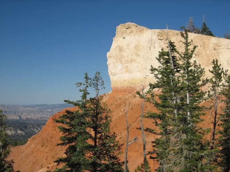
The rock is white again here because the wind has eroded its minerals.
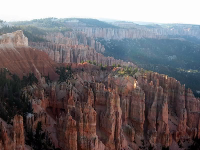
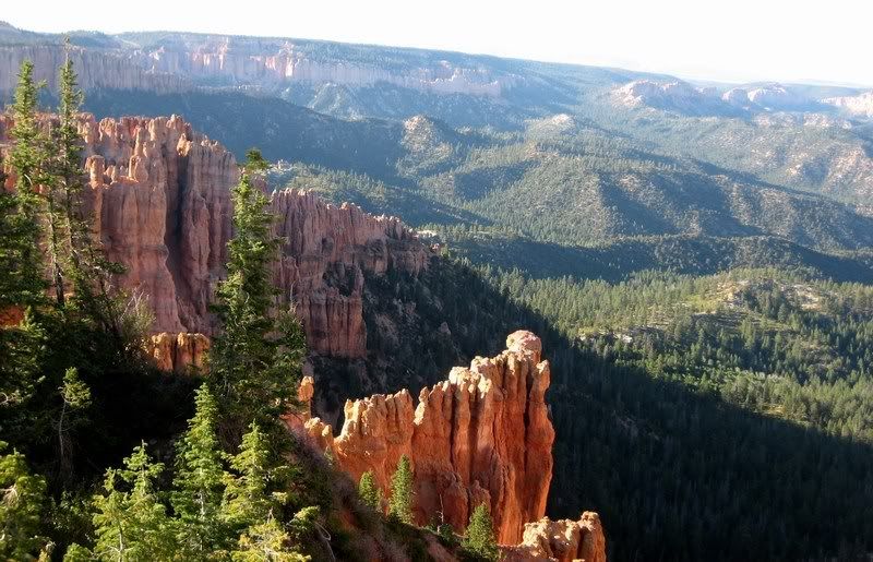
A fine example of the hoodoos at Bryce. They don’t crumble because the structure is made of varying rocks that erode at different rates.
The view from Rainbow Point, the end of the scenic ride through the park. (Picture by Andy)
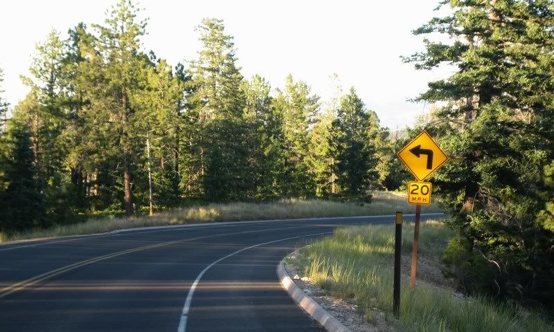
On our way back, doing the speed limit. What to do? Follow the road or the sign!?
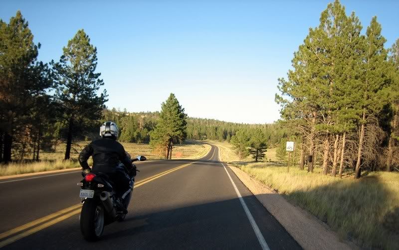
Soaking up the scenery as it slowly goes by…
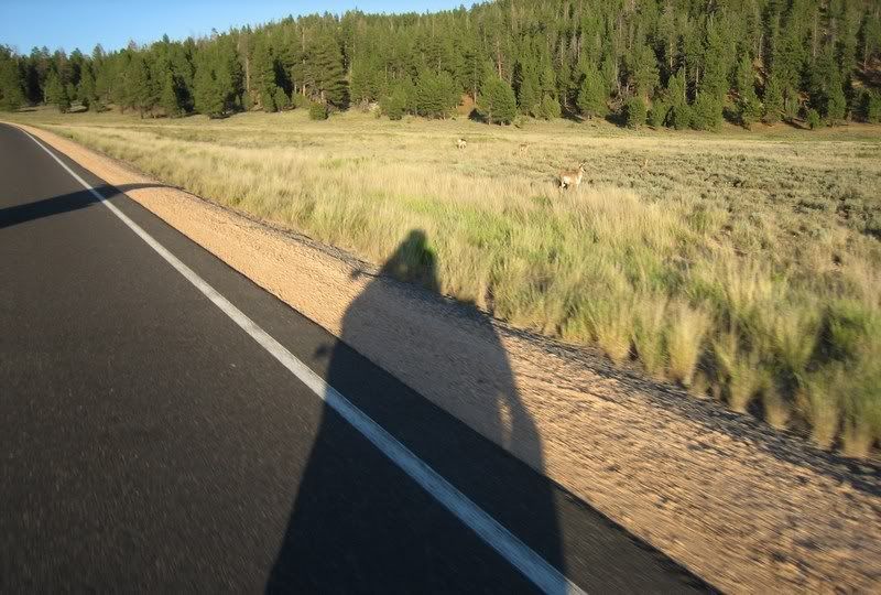
These deer are so used to human traffic they're not even bothered being so close to the road.
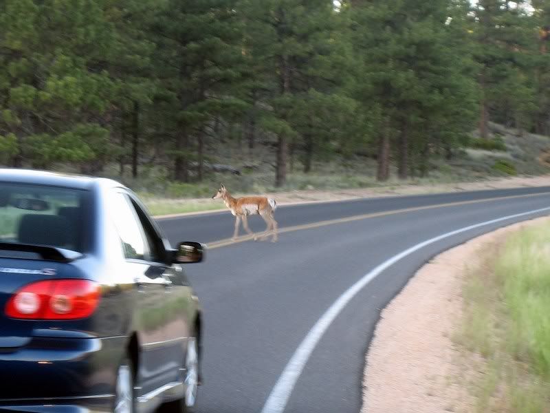
Look how brave this guy is; just casually walking across. Nice.
Next: Day 7, Capitol Reef & Arches Natl Park
Ride Report Index
No comments:
Post a Comment